Thermal Drone Services for Wildlife Recovery & Land Management
Apex Drone Solutions provides professional thermal drone services to help hunters recover mortally wounded deer after the hunt, assist landowners in finding lost or escaped animals, and support wildlife managers with advanced aerial monitoring and property management solutions.
Recovery calls from $300 · Mapping from $500 · FAA Part 107 Certified
See More. Cover More Ground. Make Better Decisions.
Whether you're managing wildlife habitat, hunting property, timberland, or large acreage, drone technology provides a faster and more efficient way to understand what is happening across your property.
Apex Drone Solutions provides high-quality aerial imagery and specialized drone services to help clients monitor land, locate wildlife, inspect hard-to-reach areas, and gather valuable information without spending hours covering the property on foot.
Professional Drone Services
Specialized aerial solutions built for the outdoors — from wildlife surveys and thermal detection to property mapping and aerial photography.
Wildlife Drone Surveys
Aerial perspective for managing wildlife and hunting property of any acreage — surveys, herd monitoring, and habitat observation.
Learn more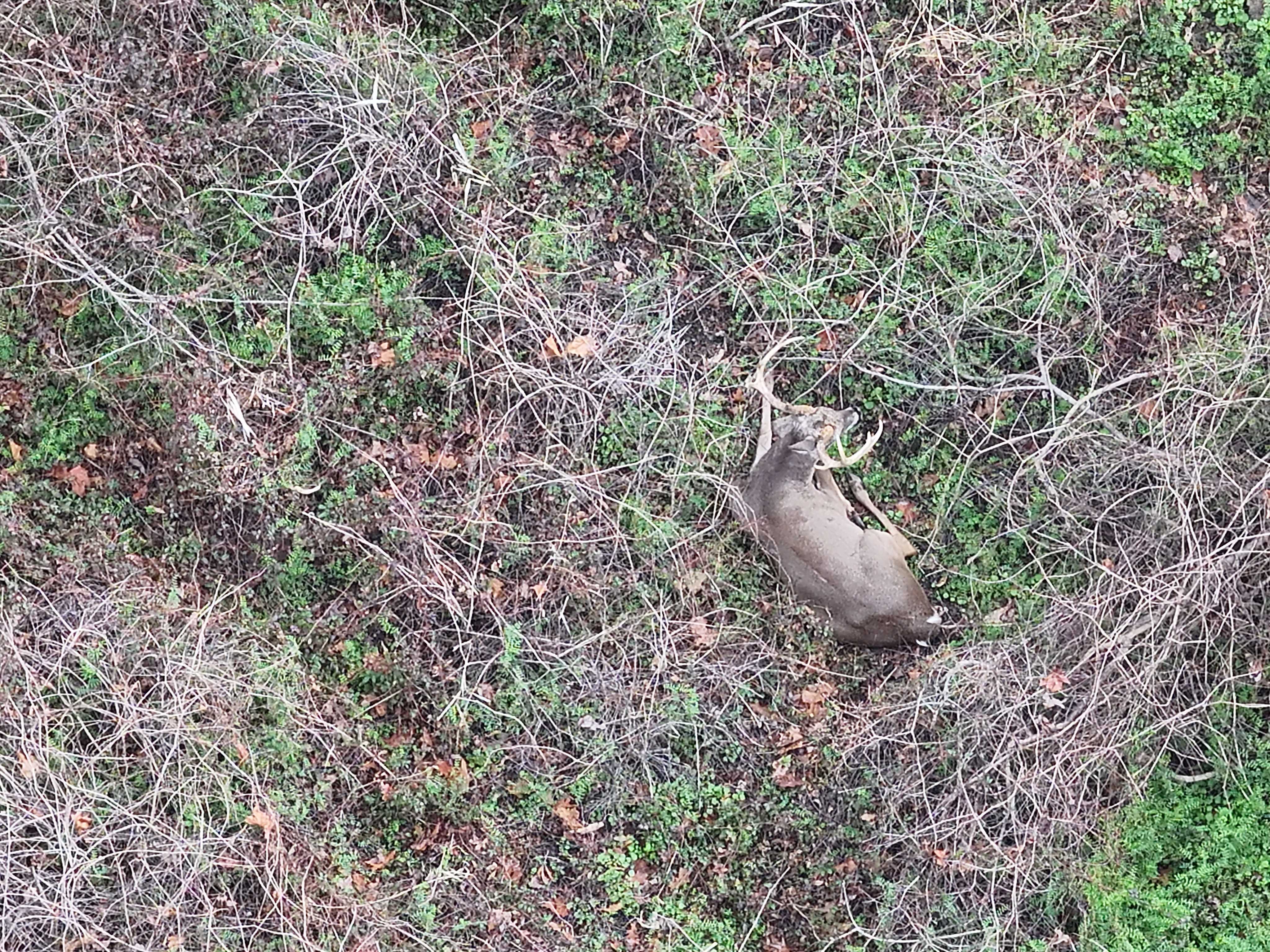
Wildlife Recovery
Thermal and aerial drone search to locate lost, escaped, or injured animals — livestock, game, and pets — across difficult terrain.
Learn more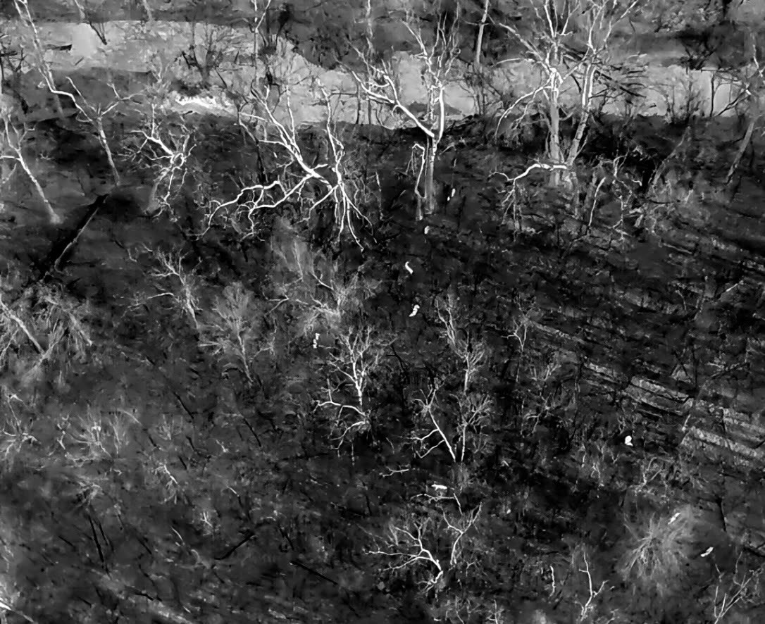
Thermal Drone Services
Thermal-equipped drones locate heat signatures across large or difficult terrain — wildlife, livestock, and search operations.
Learn more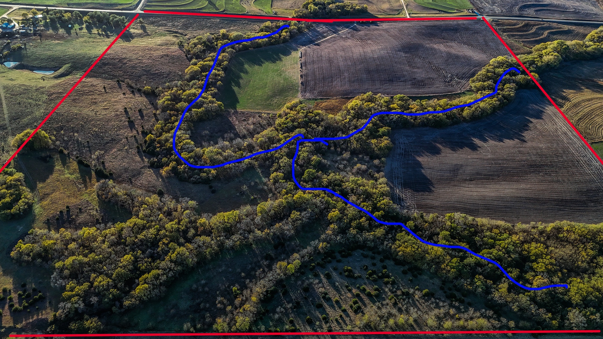
Aerial Mapping & Property Surveys
Detailed aerial views of large properties for planning, documentation, and land management.
Learn more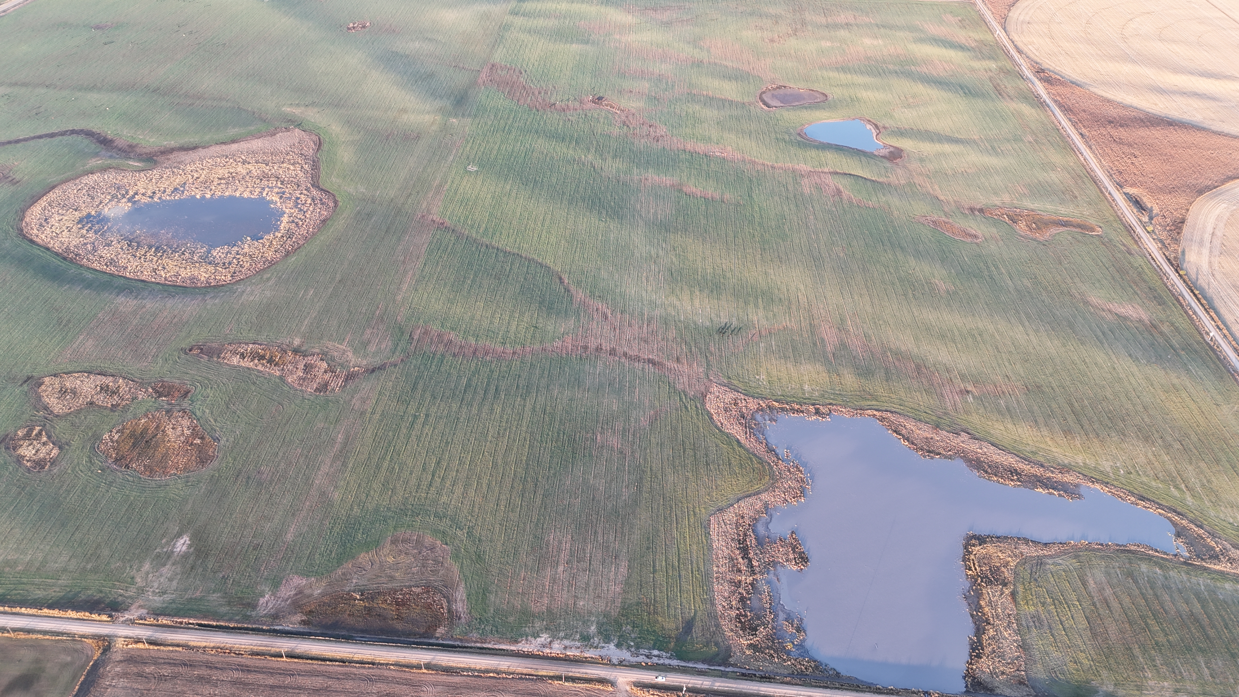
Aerial Photography & Video
Professional aerial imagery for hunting properties, recreational land, land listings, and construction.
Learn moreReal Footage. Real Properties.
Every photo and clip below was captured by Apex Drone Solutions.
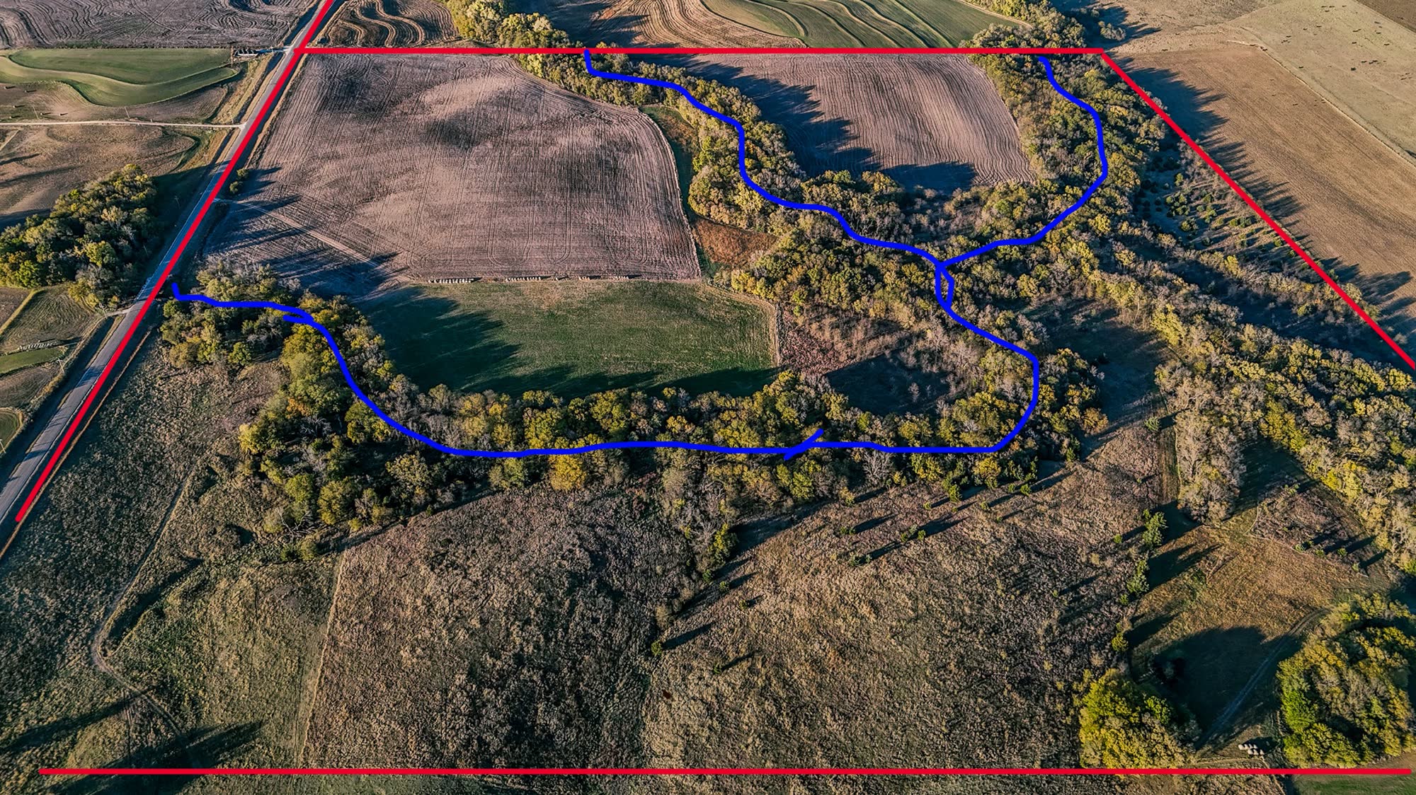
Property Boundary & Trail Mapping
Boundary lines and trail routes marked over a fresh aerial of a hunting property.
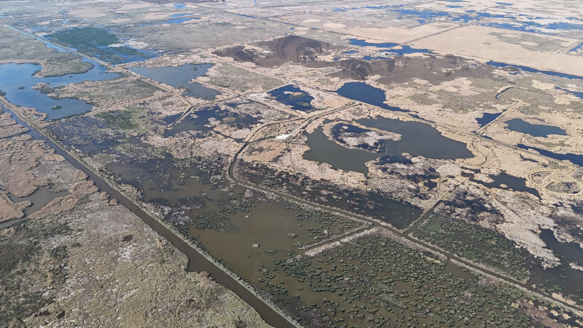
Flooded Timber Habitat
Habitat survey footage documenting water levels and cover in flooded timber.
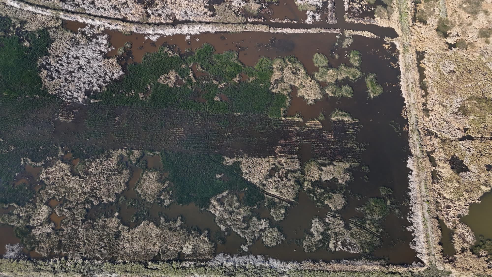
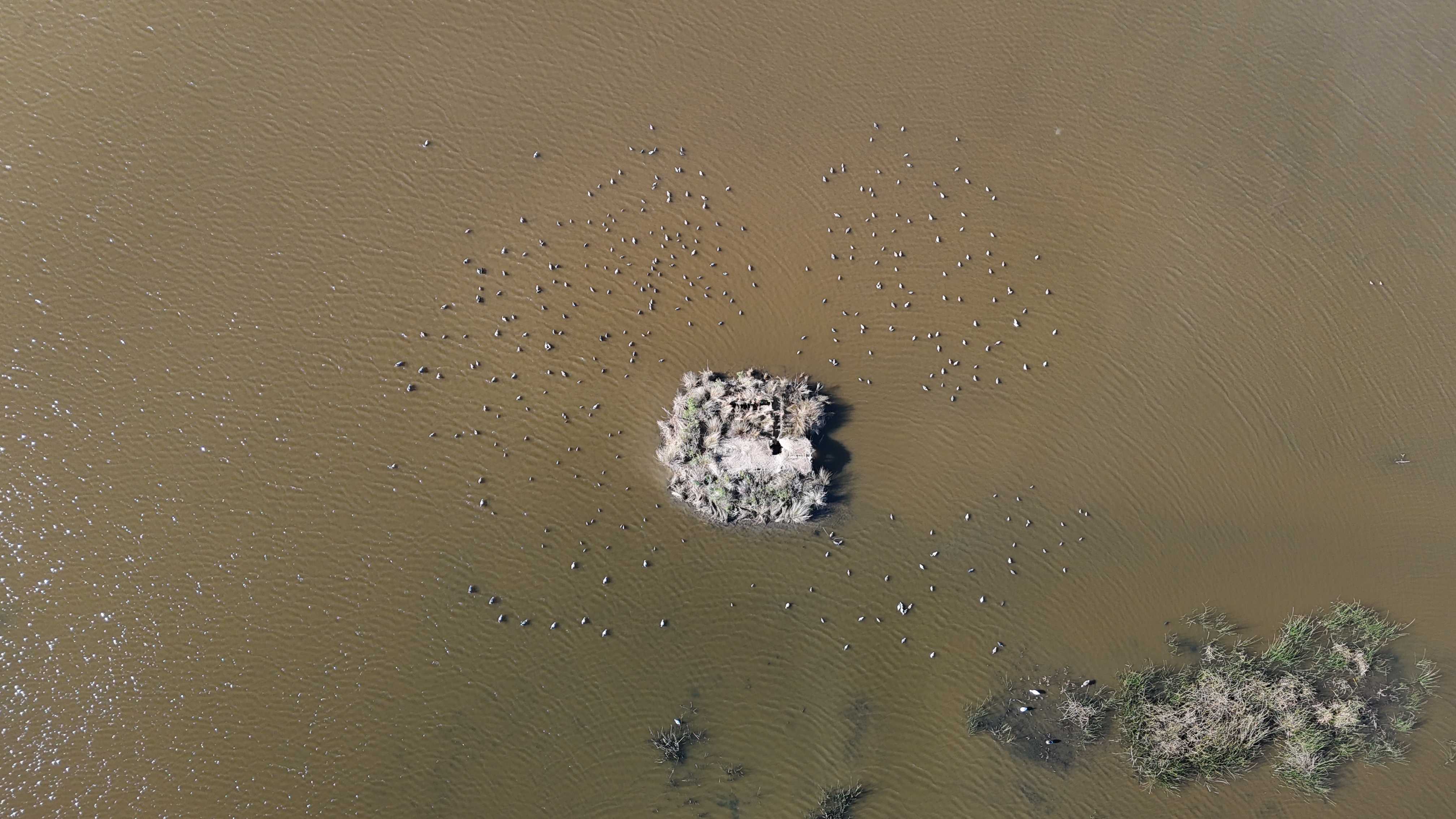
Wetland & Impoundment Survey
Top-down view of a marsh impoundment showing water levels, open water, and cover.
Cinematic Tracking Shot
Smooth follow footage for outfitters, guides, and marketing video.
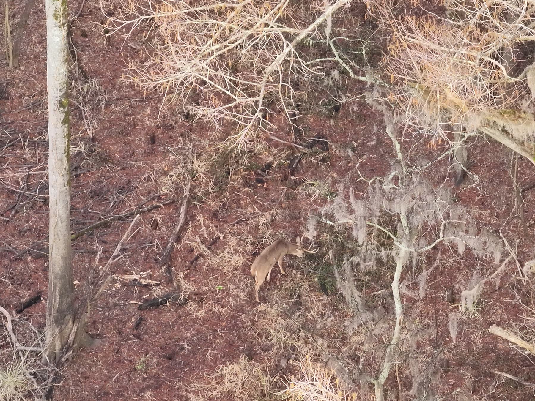
Wildlife Survey: Buck in the Hardwoods
A mature buck spotted from above moving through hardwoods and Spanish moss.
Commercial Property Marketing
Orbit footage of a charter fishing fleet and waterfront docks — built for business promo video.
Cover More Ground in Less Time
A practical, dependable way to understand your land without the time and effort of covering it on foot.
Efficiency
Survey large properties quickly without spending hours driving or walking the land.
Better Visibility
Gain an aerial perspective that can reveal conditions difficult to identify from ground level.
Hard-to-Reach Areas
Inspect fields, timber, wetlands, fence lines, and remote areas more easily.
Detailed Documentation
Capture aerial photos and videos that can be reviewed, shared, and compared over time.
Professional Gear, Certified Pilot
Every flight is operated by an FAA Part 107 certified remote pilot using commercial DJI aircraft.
DJI Matrice 4T
Thermal recovery, wildlife & survey work
An enterprise-grade drone with a thermal camera and zoom cameras, built to spot heat signatures through cover, at night, and across large acreage.
- Thermal imaging for day & night search
- Zoom cameras for close inspection
- Built for large-property grid searches
DJI Air 3
Aerial photography & video
A compact camera drone for crisp aerial photos and smooth video of hunting land, listings, and construction progress.
- High-resolution aerial photos
- Cinematic property video
- Quick setup on any property
Built for the Outdoors
Trusted by the people who know their land best.
Simple From Start to Finish
A straightforward process from your first request to your final deliverables.
Tell Us About Your Property
Complete the project request form and provide basic information about the property and the drone services you need.
We Review the Project
Our team will review the acreage, location, terrain, and goals of the project.
Schedule the Flight
We coordinate a time to perform the drone operation based on weather, property conditions, and project requirements.
Receive Your Results
Depending on the service, you'll receive aerial imagery, video, mapping information, or other agreed-upon deliverables.
Simple, Upfront Pricing
Know what you'll pay before we fly. You only pay the recovery fee if we find your animal.
Thermal Recovery Call
+ $100 only if we successfully recover your animal
A mortally wounded deer you can't find after tracking, escaped livestock, or a lost dog — we grid-search your property with a thermal drone to find it fast.
- Thermal search with the DJI Matrice 4T
- Deer & bear: after legal hunting hours (LA rules)
- Timber, wetland & field grid searches
- Exact location & coordinates when found
Aerial Mapping & Property Survey
+ $0.50 per acre over 1,000
Aerial mapping and property documentation for hunting land, timber, and large acreage.
- Any acreage — no size limit
- Hunting property & timberland mapping
- Boundary & trail mark-ups
- Acreage & progress documentation
Wildlife Survey
+ $1 per acre over 1,000
Thermal and daytime wildlife surveys to see what's using your property and where.
- Any acreage — no size limit
- Herd & habitat documentation
- Thermal wildlife detection
- Wildlife population observations
Aerial Photo & Video
Professional aerial photography and video for land listings, recreational property, and construction progress.
- Land listing & property marketing
- Hunting & recreational properties
- Construction & development progress
- Edited photos and video
Common Questions
Request Drone Services
Tell us a little about your property and what you're looking to accomplish. Apex Drone Solutions will review your project and contact you to discuss the next steps.
Get a Better View of Your Property
From hunting properties and wildlife management to timberland and large acreage, Apex Drone Solutions provides professional aerial solutions that help you see more of your property with less time on the ground.
Start Your Project